He tāone e hāngai ana ki te anamata
Preparing for the future – more options for more people
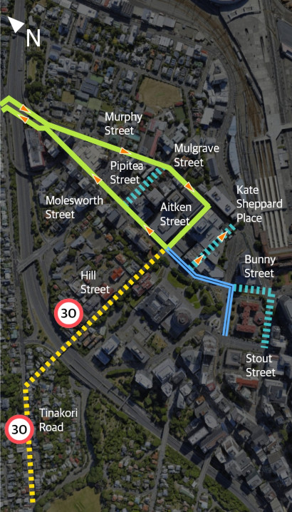
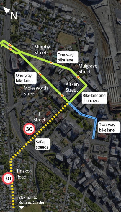
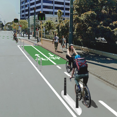
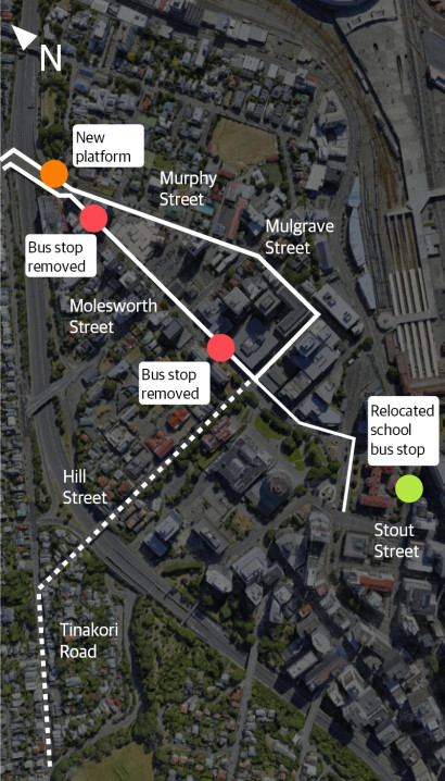
The changes along these streets will making things safer and easier to use low-carbon transport options – whether you’re walking, riding a bike or scooter, or catching the bus.
From November 2022, we began engaging with residents, businesses, organisations and schools about planned improvements for people walking, biking or using buses along these streets.
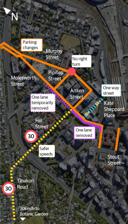
Following discussions with groups in the community and stakeholders, we included the following changes in our proposed designs:
- Improving safety for people walking and biking by reducing speeds by:
- Extending the existing safer speed zone in Tinakori Village and introducing a safer speed zone on Hill Street
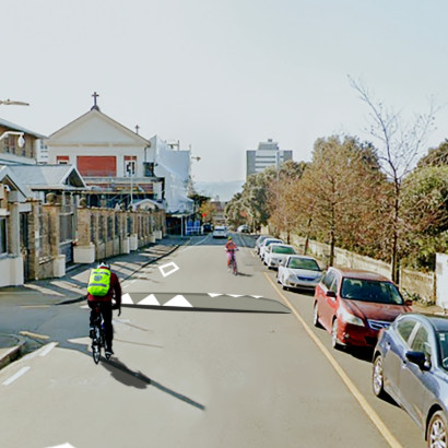
- Installing traffic calming speed humps on Hill Street
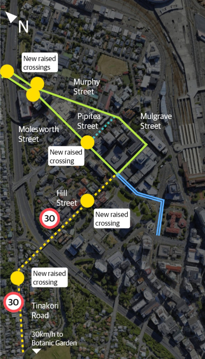
- Raising the existing pedestrian crossings
- Installing new raised pedestrian platform
- Installing a parklet in Tinakori Village with planters, bike parking, and seats
- Installing more mobility car parks
- Installing diplomatic car parks
- Improving school pick-up and drop-off car park availability
- Introducing new car share parks.
As part of our engagement, we’ve worked with groups in the community and stakeholders to refine the proposed designs and hear their views.
These groups included:
- Apartments
- Archives New Zealand
- Beca
- Bus services
- Cycle Wellington
- Developers working in the area
- Embassies in the area
- Greater Wellington Regional Council
- Let’s Get Wellington Moving
- Living Streets Aotearoa
- Local businesses
- Local schools
- Ministry of Health
- Ministry of Justice
- National Library
- New World
- NZ Police
- Parliament
- Taxi services
- Thorndon Residents' Association
- Victoria University of Wellington
- Waka Kotahi NZ Transport Agency
- Wellington Cathedral
Read a full set of plans and the traffic resolution
You can see the full plans and traffic resolution, as well as other supporting documents.
