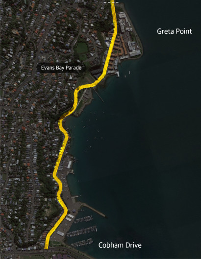
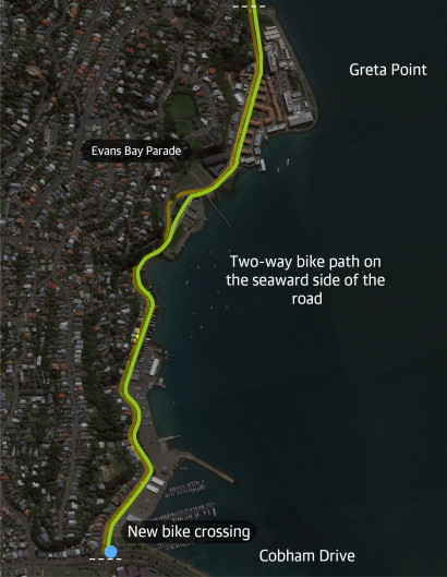
The proposal – to complete Tahitai and the eastern connection
The information on this page outlines what we consulted on.
Councillors considered the feedback and approved the project at a meeting of Pūroro Āmua, the Council's Planning and Environment Committee, on 24 November 2021.
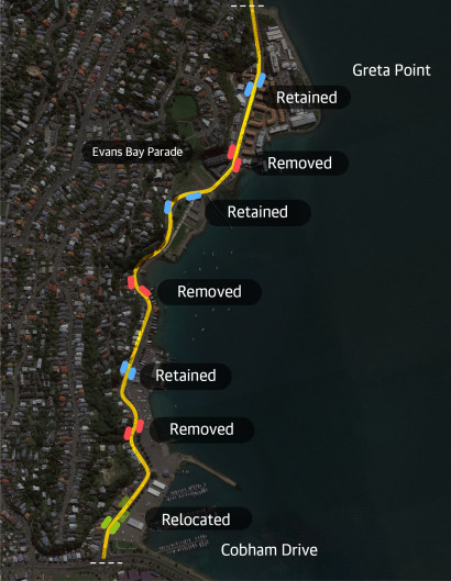
Some amendments were made to the designs in response to feedback. These are explained in the Committee report and meeting minutes. We also talked with a wide range of people, businesses, groups and organisations.
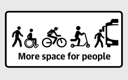
The changes will improve the look and feel of this area and create more space for people. They include:
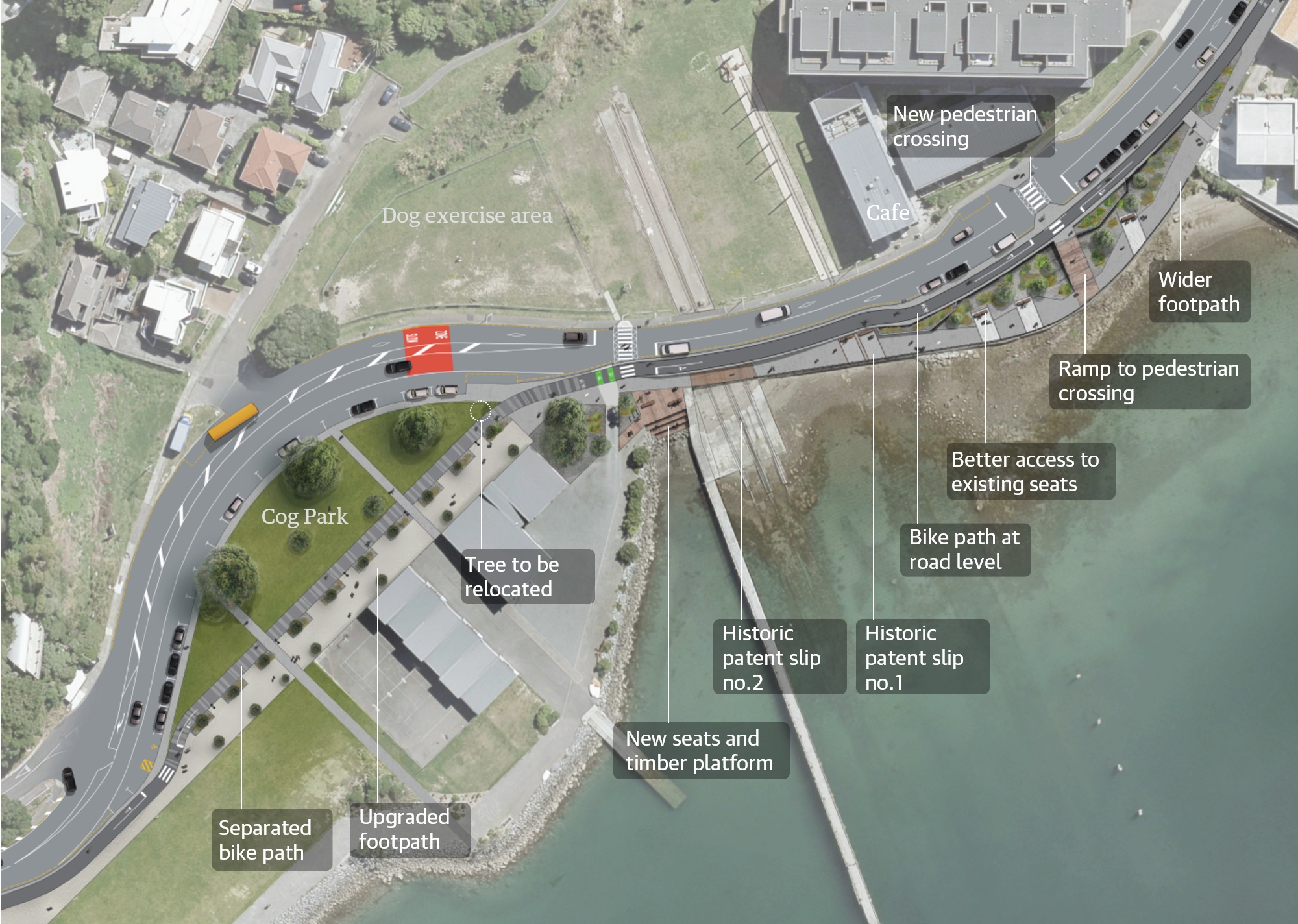
- separate paths for people walking and biking consistent with the new paths on Evans Bay Parade closer to the city and in Kilbirnie
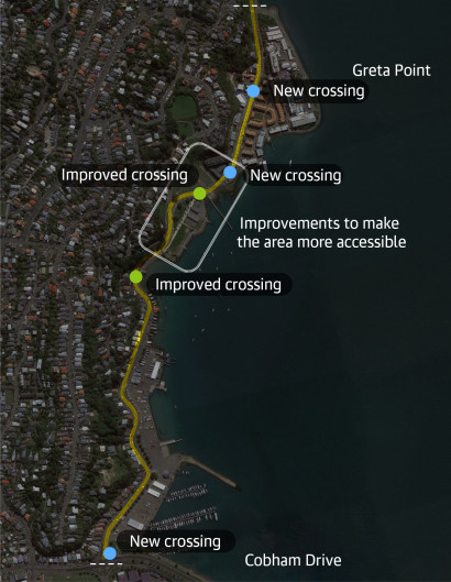
- pedestrian crossings which will make it easier for people to cross the road and help to encourage safer speeds, particularly in the busy Greta Point area
- landscape and urban design improvements on the seaward side between Cog Park and Greta Point.

Meet the team
Online sessions via Zoom
The online sessions were held on September 21 and 29 2021. This video is a recording of the 21 September session.
Here are the questions, answers and comments from the first session.
And the questions and answers from the second webinar.
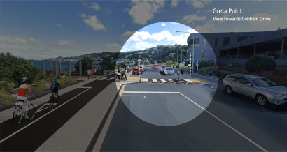
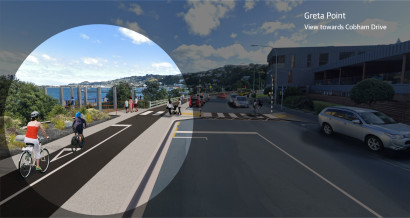
Proposed improvements
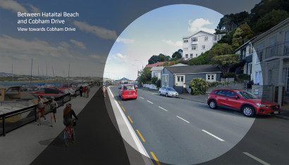
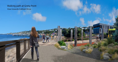
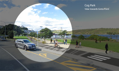
Artist impressions of the proposed changes between Greta Point and Cobham Drive
Greta Point walking
Cog Park
Past Hataitai beach
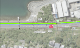
Cog Park map
See the draft plans
Download a full pdf of the draft plans