<1 of 3>
How we use this space
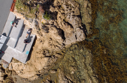
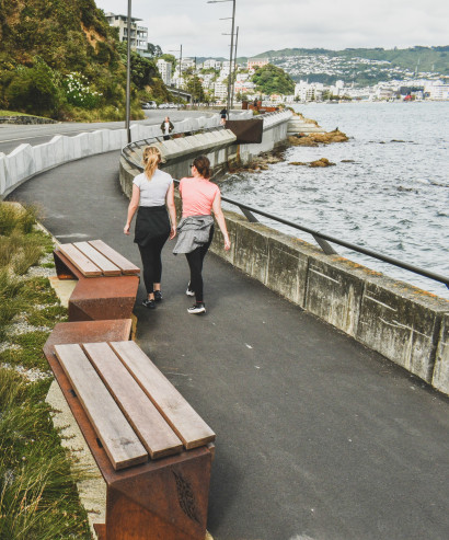
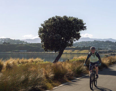
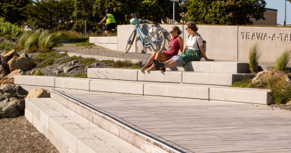
People use this stretch of road or visit the coast for several reasons. We have identified different opportunities to enhance how they may be able to move through or visit the area.
Different people have different needs
We know from engagement with the community that this area is used by lots of people in different ways. We want to ensure people continue using the space, while enhancing it for the growing communities. Below you can see some of the opportunities we have identified.
What we've explored
We have looked at opportunities to upgrade this section of Shelly Bay Road beyond the consented design (the minimum). Many improvements beyond the minimum would require widening the road. To understand the challenges and constraints of widening the road, we have considered:
- marine and terrestrial ecology
- the coastal environment
- geotechnical constraints and risks
- flood risk
- historical and cultural considerations
- existing seawalls and utilities.
We also considered how an upgrade would align with strategies such as Te Atakura: First to Zero, Let’s Get Wellington Moving, our Spatial Plan, Paneke Pōneke: the bike network plan, and the Great Harbour Way/Te Aranui o Pōneke.
We have also looked at other similar projects (like the Tupua Horo Nuku, and Eastern Bays Shared Path | Hutt City Council) where coastlines are affected, to see what we can learn. Challenges to consider here include the effects on natural habitats and wildlife, user safety, regulatory requirements, timelines and the costs involved.
These are the strategies and reports we and the engineers considered when looking at how we may be able to upgrade Shelly Bay Road.
Eastern Bays Shared Path | Hutt City Council
Great Harbour Way | Te Aranui o Pōneke
Te Aranui o Pōneke is a walking and cycling route around Te Whanganui-a-tara, the harbour of Wellington.
Lets Get Wellington Moving
Joint initiative between Wellington City Council, Greater Wellington Regional Council and Waka Kotahi aimed at improving our transport and creating a more liveable city.
Long-term Plan 2021-31
Our 2021-31 Long-term Plan sets the direction for the next 10 years, outlines what we will be investing in, how much it may cost and how this will be funded.
Paneke Pōneke - Wellington City Council's bike network plan
Shelly bay decisions and consenting documents
You'll find links to the resource consent documents for the Shelly Bay Development at the end of this webpage.
Spatial plan for Wellington City
The spatial plan guides the city's land use and transport planning.
Te Atakura First to Zero climate action plan
Te Atakura is the Council's plan for reducing our emissions to as close to zero as we can, and then using forestry, known as 'carbon sinks', to offset the remaining emissions.
Where we are today
Scientists, engineers and planners have assessed the area to identify the constraints and the opportunities available. They have considered the wider environmental context; the various city planning, environmental and transport strategies; previous community feedback; and recent Advisory Group workshops with key stakeholder representatives.
Click “Next” to find out what considerations and constraints there are in the area.